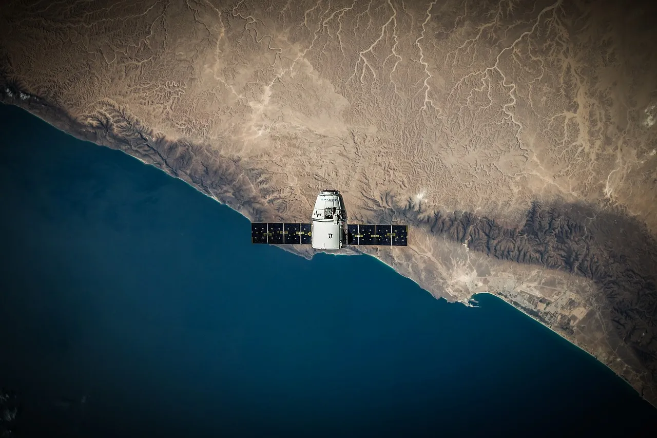
TANEGASHIMA, 11 AUG 2026 — An H3 rocket lifted off from Tanegashima at 4:23:31 a.m. Japan time on Tuesday carrying MICHIBIKI No. 7, the seventh satellite of Japan's Quasi-Zenith Satellite System. JAXA confirmed separation 29 minutes and 4 seconds after liftoff and said the spacecraft reached its intended orbit.
That is the seventh launch of a seven-satellite design. It is not a seven-satellite constellation, and the gap between those two sentences is the story.
What QZSS is for
Japan did not build a rival to GPS. It built a supplement to one, for a specific geographic problem.
GPS works by trigonometry against satellites you can see, and Japan is an awkward place to see them from. Mountains block sightlines across much of the country, and the dense cores of its cities produce urban canyons where a receiver at street level has a narrow strip of sky and a great deal of reflected signal.
QZSS answers that with orbits rather than with more satellites. Its spacecraft occupy inclined geosynchronous orbits that trace a figure-eight ground track, moving more slowly while over the northern hemisphere. Each one spends many hours high in the sky as seen from Japan. The result is that something is nearly always close to directly overhead — quasi-zenith — which is exactly the position a mountain or a tower block cannot hide.
The satellite that is missing
Seven have now been launched. Two missions failed, most recently in December 2025, when a bonding failure ended the flight carrying QZS-5.
There is no replacement planned for it. A further three satellites are expected sometime in the 2030s, which is a different programme rather than a repair.
So "completes the constellation" is true of the launch manifest and not of the sky. Japan's Cabinet Office operates a system that reached its planned number of launches this week while flying fewer working satellites than the design called for.
Why the distinction is not pedantry
A positioning constellation is a redundancy argument. The whole reason to build seven rather than four is that four is the arithmetic minimum for a fix and gives you nothing when one is out of service, drifting, or being manoeuvred.
Losing one from a seven-satellite plan does not break the service. It spends the margin. Coverage that would have been comfortable becomes adequate, and the next failure — from age, debris, or a manoeuvre that goes wrong — arrives against a thinner reserve than the designers intended.
This week's milestone is an achievement, but with less headroom than the number seven suggests.
What the figure-eight orbit costs
The quasi-zenith trick is not free, and understanding the price explains why more countries have not simply copied it.
A satellite in one of these orbits is useful to Japan for the hours it spends loitering high in the northern part of its track, and much less useful for the rest. Coverage depends on several spacecraft in staggered orbits, working in shifts so that as one drops away, another is already climbing.
Compare that with the medium-Earth orbits used by GPS and Galileo, where satellites are useful to roughly half the planet at any moment and the same hardware serves every customer. Global constellations are enormously expensive to build and then extremely efficient per unit of coverage. A regional augmentation is the inverse: cheap to start, but each satellite covers one part of the world for only a slice of the day.
Which makes the arithmetic quite sensitive to losing one. In a global constellation a missing satellite degrades everybody slightly. In a shift pattern it leaves a gap at particular times of day over a particular place, and that is a harder shortfall to describe and a harder one to ignore.
What sovereignty means here, and what it does not
QZSS is routinely described as a sovereign satnav system. In one sense, it is: Japan owns it, operates it, and can guarantee availability over its own territory, which it can't for anyone else's constellation.
But the system was designed to work with GPS rather than instead of it. Its signals are compatible by intent, so a receiver treats a Michibiki satellite as one more usable source. That is what makes it cheap to adopt — no new receiver category, no separate ecosystem — and it is also what makes "sovereign" a description of the augmentation rather than of the whole positioning capability.
The independence being bought is against poor geometry and local outage, not against the loss of GPS altogether.
Why it matters beyond Japan
The satellites are high over the western Pacific for long stretches, and their signals do not observe borders. Receivers well south of Japan can and do use them, which is a genuine if incidental benefit to a region full of exactly the terrain QZSS was built for: mountains, islands, and very dense cities.
It also makes QZSS a working demonstration of a middle path. Building a full global constellation is the preserve of a handful of states. Building a regional augmentation with a handful of satellites in clever orbits is achievable for a mid-sized space programme, and India has taken a similar route.
What to watch
When Michibiki No. 7 enters service. Injection into orbit is the launch result; commissioning, orbit-raising and signal validation take months, and only then does the constellation count change in any operational sense.
Whether the shortfall gets addressed before the 2030s. A decision to rebuild QZS-5 would say the margin matters more than the schedule.
And the H3 record. This was flight No. 9 of a vehicle Japan needs to work if it wants to launch its own infrastructure on its own timetable. That dependency is the quieter thing being tested with every launch.

View author profile → · Editorial policy