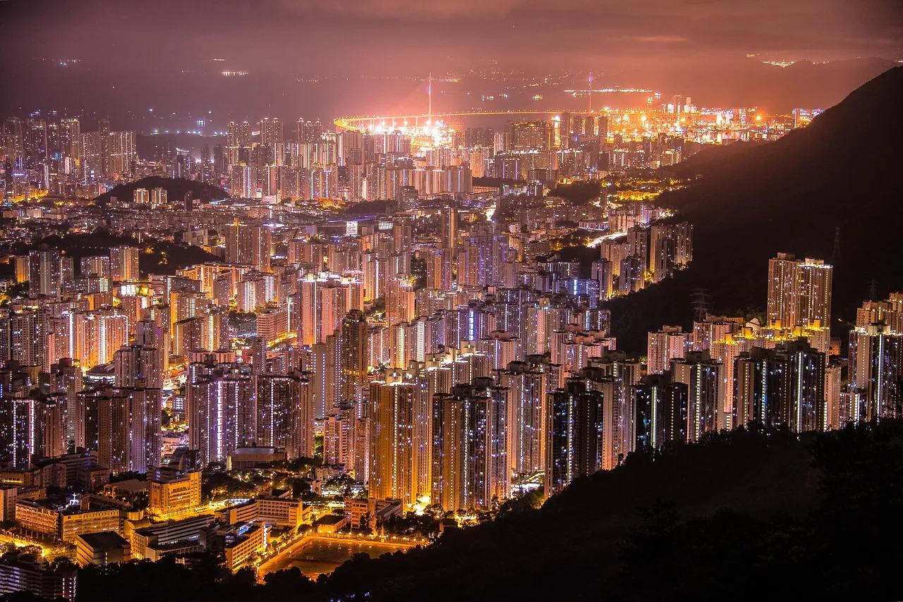
On the Census and Statistics Department's mid-2025 figures, the five most crowded of Hong Kong's 18 districts (18區) are the five in Kowloon, as they were in 2021. The other thirteen are four on Hong Kong Island and nine in the New Territories. Kowloon holds 29.9% of Hong Kong's land population on 4.3% of its land.
Central and Western goes by the letter A in the census tables
The department's district table lists the 18 District Council districts in a fixed order and codes them with single letters, A for Central and Western through to T for Islands, skipping I and O. The 2021 census district profiles use the same letters, with numbers from 11 to 39 alongside. Those are the only district codes we found in official statistics. Hong Kong has no postcodes either: Hongkong Post says plainly that a "postcode system is not adopted in Hong Kong", and an address carries the district by name. Singapore went the other way, and our guide to how Singapore postcodes work shows what six digits there can say.
Until 30 September 2026, our Hong Kong districts reference showed two-letter codes it described as a government standard. We found no source for them, and the page now shows the department's A to T letters with its mid-2025 population and area for every district.
District Boards were set up in each district in 1982, and they became District Councils from 2000. The department's table notes that Wan Chai and Eastern have been counted on different boundaries since 2016.
Kwun Tong packs nearly 60,000 people into each square kilometre
The department divides each district's land population by its land area, leaving out people living on boats and the area of reservoirs. Kwun Tong comes to about 59,400 people per square kilometre in mid-2025 and Islands to about 1,090, so Kwun Tong's density is about 54 times Islands'. In 2021 the multiple was about 58.5.
| District | Population, mid-2025 | Land (km²) | People per km² |
|---|---|---|---|
| Kwun Tong 觀塘 | 669,700 | 11.28 | 59,400 |
| Sham Shui Po 深水埗 | 437,700 | 9.36 | 46,770 |
| Wong Tai Sin 黃大仙 | 405,800 | 9.30 | 43,630 |
| Yau Tsim Mong 油尖旺 | 301,600 | 6.99 | 43,160 |
| Kowloon City 九龍城 | 427,900 | 10.01 | 42,750 |
| Eastern 東區 | 508,000 | 17.99 | 28,240 |
| Kwai Tsing 葵青 | 494,500 | 23.34 | 21,190 |
| Central and Western 中西區 | 231,900 | 12.55 | 18,480 |
| Wan Chai 灣仔 | 163,000 | 10.56 | 15,440 |
| Sha Tin 沙田 | 692,400 | 68.72 | 10,080 |
| Southern 南區 | 259,500 | 38.84 | 6,680 |
| Tuen Mun 屯門 | 548,400 | 85.85 | 6,390 |
| Yuen Long 元朗 | 680,500 | 138.48 | 4,910 |
| Tsuen Wan 荃灣 | 302,600 | 61.92 | 4,890 |
| Sai Kung 西貢 | 504,500 | 129.68 | 3,890 |
| North 北區 | 341,600 | 136.46 | 2,500 |
| Tai Po 大埔 | 329,900 | 136.13 | 2,420 |
| Islands 離島 | 198,400 | 182.28 | 1,090 |
By region, Hong Kong Island has 7.3% of the land and 15.5% of the land population, at about 14,540 people per square kilometre. Kowloon has 4.3% of the land and 29.9% of the people, at about 47,780. The New Territories, which in these tables include Kwai Tsing and Islands, have 88.4% of the land and 54.6% of the people, at about 4,250. The department's own comparison of the 18 districts, on 2024 figures, reaches the same Kwun Tong result.
Sham Shui Po and Central and Western each seat twenty councillors
The District Councils (Amendment) Ordinance 2023 changed who sits on the councils, from the seventh term that began on 1 January 2024. Before it, the councils had 479 members, 452 of them elected and 27 ex officio, the chairmen of the New Territories' Rural Committees. Now there are 470: 179 appointed, 176 returned by District Committees constituencies, 88 elected directly in geographical constituencies, and the same 27 ex officio.
The Legislative Council's Bills Committee report records the government's case. The government proposed a ratio of about 4:4:2 for appointed, committee-returned and directly elected members. It also noted that the Basic Law "does not stipulate that district organizations must be formed by election" and arranged for each district's District Officer, a Home Affairs Department civil servant, to chair its council. The report also records that the 25% population tolerance for drawing constituencies is now measured against the average within each district, rather than a quota for all of Hong Kong. The government put turnout at the December 2023 election at about 27.54%, a figure it issued "for temporary reference only".
The seat numbers are set district by district, and six urban districts have the same 20 members, four of them directly elected: Sham Shui Po, Kowloon City, Wong Tai Sin, Yau Tsim Mong, Southern, and Central and Western. Their populations run from about 235,000 to about 442,000. On mid-2023 population, Sham Shui Po has about 110,000 residents per directly elected seat and Central and Western about 59,000, a ratio of about 1.9. Because both districts have 20 seats in all, the ratio is the same counting every member. Holding population at its mid-2023 level, residents per directly elected seat across Hong Kong rise from about 16,700 under the old councils to about 85,600.
Sai Kung mostly means Tseung Kwan O
Two district names are misleading about where most of their residents live. At the 2021 census, 91% of Sai Kung District's residents lived outside the three constituency areas named for Sai Kung itself, overwhelmingly on the Tseung Kwan O side, which has no district of its own. In Islands District, 59% of residents lived in the five constituency areas named for Tung Chung, on Lantau; the outlying islands of Cheung Chau, Lamma, Peng Chau and their neighbours held about 18%. Both figures are our grouping of the census by 2019 constituency names, not an official count of either new town. How those places came to be spelled as they are is its own story, which our guide to why Hong Kong place names don't follow Jyutping tells.
North District gains residents while Tsuen Wan loses them
Between mid-2021 and mid-2025 on the same table, North District's population grew 10.3%, Tuen Mun's 8.2% and Islands' 7.1%. Tsuen Wan's fell 5.5%, Eastern's 4.1%, Yau Tsim Mong's 2.9% and Wan Chai's 2.2%. Hong Kong Island as a whole lost 2.8% while the New Territories gained 2.7%, and the total rose 1.2%. Sha Tin, the most populous district, went from 4.16 times Wan Chai's population, the smallest, to 4.25 times. The tables give the numbers, not the reasons, and we have not added any.
The Lok Ma Chau Loop sits in a LegCo constituency and no district
Elections to the Legislative Council use different lines. Since 2021 there have been ten geographical constituencies, each returning two members, and three districts are split between two of them: Wong Tai Sin, Sha Tin and Yuen Long. Islands votes with Central and Western and Southern in Hong Kong Island West, across the water from Lantau.
The 2025 review placed the Lok Ma Chau Loop, on the Shenzhen border, in New Territories North. The census department still leaves its 0.97 square kilometres out of every district's land area, with a note that the district it will join "is pending".
View author profile → · Editorial policy