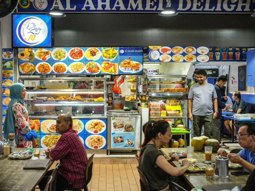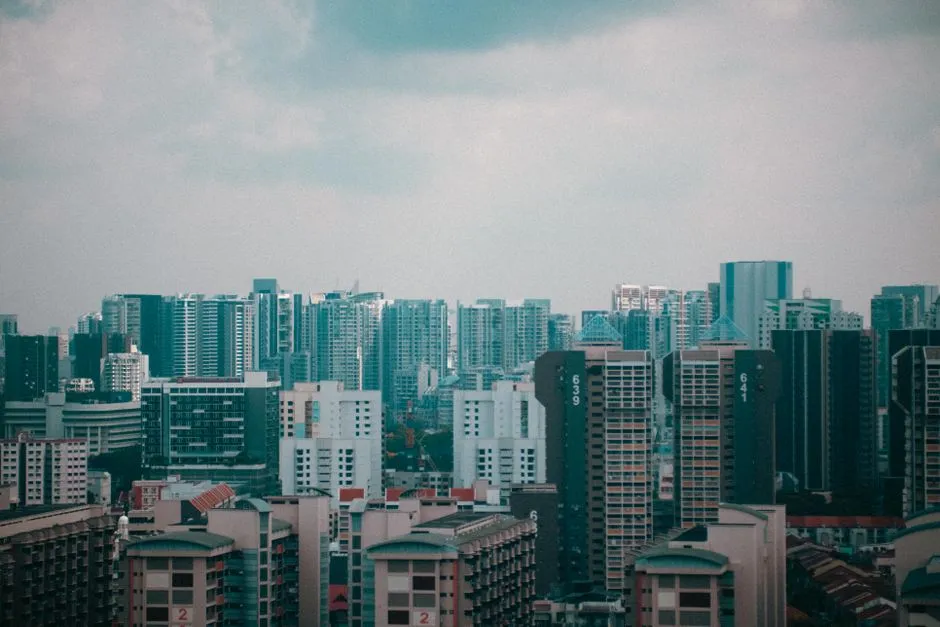
We took a random sample of 405 HDB blocks, 15 from each of Singapore's 27 HDB towns, and found the postcodes of 404. In 400 of them the last three digits were the block number: Blk 208 Toa Payoh North is 310208, and Blk 21 Bedok South Road is 460021. No block numbered 1000 or above turned up, so the rule is untested for four-digit blocks.
A Singapore postcode's six digits break into two parts. The first two are the postal sector, one of 81 that SingPost groups into 28 postal districts. The last four digits identify a single delivery point: an HDB block, a private house, or a commercial building. The system dates from 1 September 1995, when it replaced a four-digit code that, according to the National Library Board, left 48% of mail to be sorted by hand.
The sector is inherited from the old code
Singapore's first postal codes, in 1950, split the island into 28 postal districts. In 1979 a four-digit code divided those districts into sectors, and in 1995 the six-digit code kept the sector and added four digits for the building. The National Library Board's account says the 1979 system had 80 sectors; SingPost's own history says 81. We could not settle which is right, and neither source explains when sectors 81 and 82 were added or why 74 is unused.
The sectors are not a map. SingPost's list of postal districts puts sectors 14, 15 and 16 in District 3 and 09 and 10 in District 4, sends 81 to Changi with 49 and 50, and 82 to Punggol with 53, 54 and 55.
The district is looked up from a table
No part of the postcode itself identifies the district. Instead, the district is looked up in a SingPost table that assigns each of the 81 sectors (01 to 82, skipping 74) to one of 28 districts. Property listings still describe homes by district, and the one current official use of districts we found is in URA's property market glossary, where the Core Central Region "is made up of postal districts 9, 10, 11, Downtown Core Planning Area and Sentosa". Primary 1 registration does not use districts at all. The Ministry of Education ranks priority by citizenship and the distance between home and school: within 1 km, between 1 and 2 km, or further.
A sector also cannot tell you anything finer than its district. We placed 1,140 real postcodes, sampled across 77 sectors, inside URA's planning-area boundaries. A table assigning each sector to a planning area matched the address's actual area only 70% of the time, even when we counted any of the two or three areas it listed as a match, and four sectors held addresses in more than one of URA's regions. Toa Payoh is a good example: the HDB town's blocks in our sample sit in sectors 31, 34, 35 and 36, while the sector 32 and 33 blocks we sampled were in Kallang. Our Singapore postcode lookup used such a table until September 2026; it now names the district and stops there.
Addresses and coordinates are from the Singapore Land Authority's OneMap, the block list from HDB's property information dataset and planning-area boundaries from URA's Master Plan 2025, both on data.gov.sg, all used under the Singapore Open Data Licence.
The block number is written into the last digits
For an HDB block, the delivery point is just the block number, which our sample showed is encoded in the last four digits in two simple ways. In 71% of blocks the postcode was just the sector followed by the block number padded to four digits. For a block with a letter, like 519B, the last three digits were still the block number. The letter usually set the third digit, A as 1, B as 2 and so on: Blk 519B Tampines Central 8 is 522519, and Blk 618D Punggol Drive is 824618. That held in 90 of the 97 lettered blocks.
When two streets in the same sector have a block with the same number, the thousands digit told them apart. Blk 21 Bedok South Road is 460021 and Blk 21 Chai Chee Road is 461021; Blk 36 Margaret Drive is 140036 and Blk 36 Tanglin Halt Road is 141036. Both patterns are what we observed, and no SingPost document we found states either as a rule. A postcode that loses its leading zero, as one beginning with 0 can in a spreadsheet, stops matching any of this, which our guide to what a spreadsheet does to your CSV covers.
A private building is numbered within its sector
For a house, condominium or office, the last four digits are not its street number. The National Library Board says the number "is assigned according to the alphabetical order of the street name in each sector". Our small sample suggested a similar pattern, but with a twist: for higher-numbered private codes, the street names often ran backwards through the alphabet as the code number increased. On Sentosa, Allanbrooke Road is 099980, Artillery Avenue 099951 and Siloso Beach Walk 099013. The sample is small, so treat that as an observation.
Each delivery point is given its own code
The six-digit code is meant to give every building its own number, and it mostly works. Of the 1,140 postcodes we sampled, 1,137 resolved to exactly one street address. It also means a development with several blocks carries several codes: the Archipelago condominium runs from 479300 upwards, one code per block.
There is no free official register of all of them. HDB's own block list on data.gov.sg ships without postcodes and refers readers to SingPost, "charges involved"; SingPost's last published description of an address-list subscription we could find dates from 2014. The Singapore Land Authority's OneMap search returns postcodes from its own address data, and from it we estimate roughly 144,000 address records, about one in six of the 810,000 codes the 81 sectors could hold.
Three of the 1,140 codes we sampled belonged to more than one address. The plainest of them is 188211, which serves both 2 and 2A Short Street.

View author profile → · Editorial policy