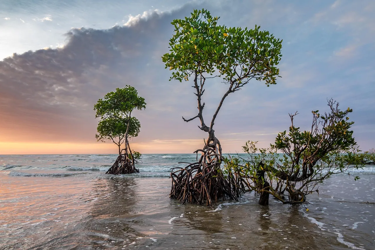
2 OCT 2026 — Mangrove forests protect many tropical coasts, and efforts to restore them are growing. Scientists have mostly explained where they can grow by the tides. A study published in Nature on 30 September finds that on exposed coasts, waves are a key control as well. Seedlings need long calm spells to anchor, and sites that never get them stay bare even when the tides suit mangroves.
The result matters for restoration projects choosing where to plant, and for coasts whose wave patterns are expected to change.
Why seedlings need a calm window
Mangroves spread through buoyant seedlings that float until they strand on a shore and then must anchor quickly before they are washed away. Sites are usually judged by how long the ground is underwater with each tide, but on open coasts, the paper says, the role of waves has been poorly understood.
The researchers, from UNSW Sydney, Tulane University and the University of Oldenburg, built on an idea known as "windows of opportunity". As a seedling grows, it can withstand more wave force. To take root, it needs a run of calm days after it strands, then months in which the waves never exceed what it can withstand at each age.
What the 400 sites showed
The researchers compared open-coast sites that had mangroves with bare sites from the same marine regions, so that climate could not explain the difference. For each site, they used 20 years of wave records from the Copernicus Global Ocean Waves Reanalysis, measuring wave height and direction relative to the shore. Mangrove locations came from Global Mangrove Watch and were checked against satellite images.
Mangrove sites had longer calm spells than bare sites. Using only offshore wave data and the angle of the shoreline, the model predicted presence or absence correctly 78.2% of the time.
For a year-old seedling, the model put the effective wave-height limit at 1.13 metres. That corresponds to a flow near the seabed of about 1.46 metres a second, close to earlier estimates that seedlings can be uprooted at 1.2 to 1.5 metres a second.
A test in the Gulf of Thailand
The researchers ran the model along two coastlines, the Palk Strait in southeast India and the Gulf of Thailand, and it matched what is on the ground at all but one point in each. They then raised and lowered wave conditions by 20%.
Calmer waves made every point on both coasts suitable for mangroves. Under rougher waves the coasts diverged. The Indian coast lost its establishment windows at every point, while on the Thai coast only one point that now has mangroves lost them, which made the Gulf of Thailand the more resilient site.
Losing those windows does not kill a forest outright. Mature trees can persist for some time, the authors note, but no new seedlings would establish. If the shore itself did not change, the Indian coastline could eventually lose its mangroves.
Why wave direction matters too
The 20% changes are larger than projected increases in wave height alone. Projections cited in the paper suggest waves across the tropics will mainly shift direction, by 5° to 10° by 2100 under a high-emissions scenario. Because the model measures waves relative to the shore, small turns in direction, together with changes in height, could shift the effective wave height by a comparable amount.
Shifts could run either way. Across every site the model predicted correctly, a rise in wave energy big enough to strip some mangrove sites of their windows was matched by a fall of similar size that gave windows to some bare sites.
What the model leaves out
The authors list gaps. Tidal currents, which can dislodge seedlings where tides are large, are not in the model, and that matters in parts of Indonesia, northern Australia and western India. Mangroves sheltered behind reefs, dunes or lagoons were outside the study, as were waves whipped up by local winds. Sea-level rise, storms and changes to the shore itself will also shape where mangroves can live, and the authors call for comparison with recorded gains and losses.

View author profile → · Editorial policy